Postcode crime checker
Free, instant, no email needed.
Example. Police published 8,341 street-crime records for the whole E8 postcode district from September 2025 to August 2026, about 695 a month. Anti-social behaviour was the largest category, at 21.1%. A check counts the same records for the 0.5 km around one postcode. See E8's figures.
CrimeMapsUK holds 71,482,174 street-crime records that 45 police forces published on data.police.uk from December 2013 to August 2026. The check counts the last 12 months of them around your postcode.
What you get
- The check, free. A page for the 0.5 km around your postcode: how many records police published there in the last 12 months, month by month and against the year before, every crime category beside the force area and England and Wales, the outcomes, a map of where records cluster, and links to the area's figures. The page has its own address, so you can bookmark it or send it to someone.
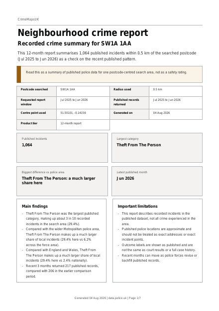
- A 12-month PDF report, free. Maps of where records cluster, every crime category, and the local figures beside the force area and England and Wales. We email you a link to open it.
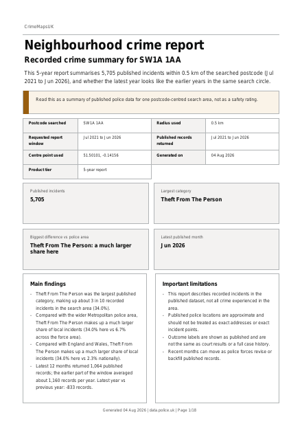
- A 5-year PDF report, £19.99. The latest year beside the four before it, so you can see whether it is typical, and an appendix of up to 300 recent records.
- A Move report, £29.99. The 5-year report plus recent sold prices, the nearest schools, flood risk and broadband, for postcodes in England.
How the data works
Every figure comes from the street-level crime records that police forces in England and Wales publish each month on data.police.uk, the Home Office's official police data portal. Each record has a month, a crime category and an approximate location: police move every location to a nearby anonymous map point, so a record near your postcode may have happened a few streets away. The records count crime reported to the police, not all crime. We show what was published. We don't score or grade areas. The methodology explains every step.
Questions
Is the postcode crime check free?
Yes. The check needs no email and no account. The 12-month PDF report is also free: you give an email address so we can send you a link to it, and daily limits apply. The 5-year report costs £19.99.
What area does it cover?
About 0.5 km (0.31 miles) around the centre point of your postcode. For a whole postcode district, such as
E8, see the
district pages.
Which postcodes can I check?
Postcodes in England and Wales. If police published no records for the area around a postcode in the last 12 months, or far fewer than in earlier years, the check says so and we don't offer a report there, free or paid, because the missing records would make the area look quieter than it is.
Which forces have months missing.
Why is there no safety score?
Published records leave out crime nobody reported, and their locations are approximate, so a score would claim more than the data shows. We give the counts, the categories and the comparisons, and you judge what they mean for you.